HUMMINBIRD
MAPPING TECHNOLOGY
JUMP TO:
BASEMAP | AUTOCHART LIVE | LAKEMASTER | COASTMASTER | CHARTSELECT | NAVIONICS
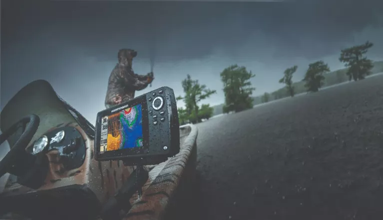
Everyday angler or weekend warrior. Saltwater or freshwater. On the beaten path or off the grid. No matter where the journey takes you, only Humminbird Fishing Charts can gives you the detail, accuracy and innovative, one-of-a-kind features you need to eliminate unproductive water and find the best fishing spots faster. With Humminbird’s multiple cartography options, you’ll make the most of every fishing day.
READY TO FISH, RIGHT OUT OF THE BOX
BASEMAP
We’ve enhanced our standard basemap to deliver more detail and a superior angling experience. The Humminbird Basemap is built into all XPLORE Series, APEX Series, SOLIX Series and GPS-equipped HELIX Series G2/G2N and newer models. Based on freshwater data from LakeMaster and NOAA, the most-trusted saltwater source, these accurate maps provide you with a clear view of underwater terrain. Identify buoys, daymarkers, hazards, marinas and countless other navigation aids and points of interest with our comprehensive icon system. You’ll also see depth contours and spot soundings for coastal areas. On the water, confidence is key. And the Humminbird Basemap delivers.

CREATE YOUR MAP-STERPIECE
AUTOCHART LIVE
Build richly detailed maps of your favorite fishing spots in real-time with Humminbird's patented AutoChart LiveTM technology, available on the APEX Series, XPLORE Series, SOLIX Series and all GPS-equipped HELIX Series models. Map the water as you drive the boat, with eight hours of built-in recording time. Once your map is live, view it with vegetation, bottom hardness and depth contours to locate the best fish-holding areas.

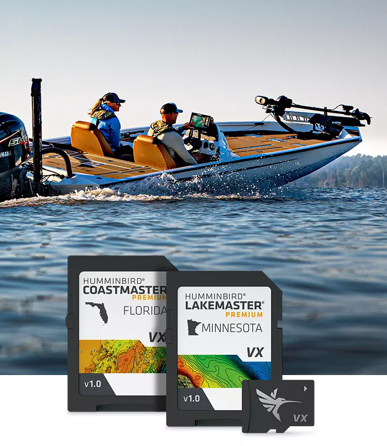
OWN THE WATER
LAKEMASTER
LakeMaster maps with VX Technology deliver an exact understanding of the bottom terrain, and powerful features to eliminate unproductive water, including SmartStrike technology, Depth Highlight, Shallow Water Highlight, and Water Level Offset. And for an added advantage, upgrade to LakeMaster Premium, with all the features on LakeMaster, plus Aerial Imagery and 2D Shaded Relief layers.

FROM SEA TO SHINING SEA
COASTMASTER
Find the path to your next big catch with the incredible accuracy and detail of Humminbird® CoastMaster® and CoastMaster® Premium charts. With easy-to-read contours and chart customization, you'll have the tools you need to identify the spots you know will hold fish and navigate there safely. Building on the latest data available, CoastMaster charts deliver unrivaled nearshore and offshore fishing performance.

DOWNLOADABLE
LAKE MAPS
If your Humminbird fish finder is not compatible with the new LakeMaster maps with VX Technology, you can download Legacy LakeMaster charts on ChartSelect™.

FIND YOUR MAP, WITHOUT COMPROMISE
NAVIONICS
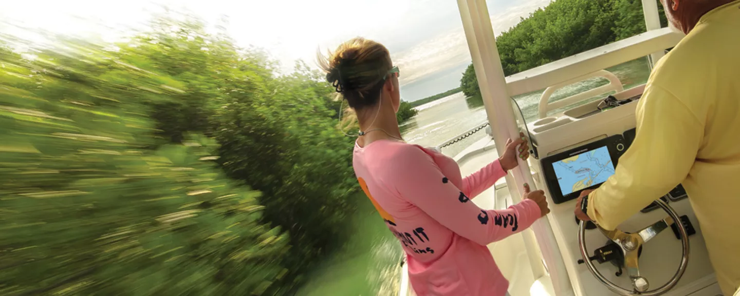
You're never limited with Humminbird, which is why Humminbird fish finders are Navionics® compatible for even more map options, no matter where or what you fish for. Get detailed information about the waters you fish, along with map updates and community edits for the saltwater or freshwater region of your choice.

PRODUCTS
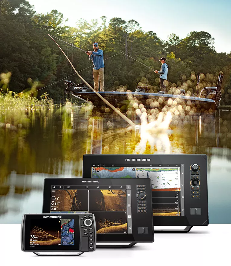
Whether you compete in tournaments or fish for fun, our units revolutionize your time on the water through superior screen clarity, smart waypoint management, industry-leading sonar technologies and more.
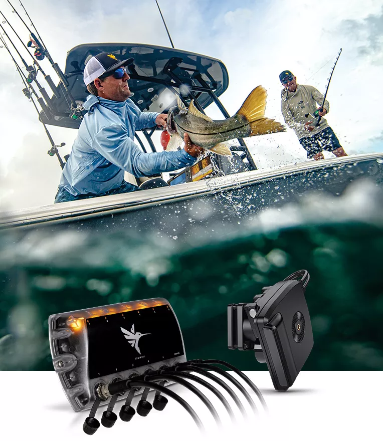
Need something extra for your fish finder? Find top-quality transducers, mounts, cables, carrying cases, batteries, and installation hardware to help get the most out of your equipment.
Humminbird’s vast cartography options allow you to plan out your fishing trip with unrivaled accuracy. Find the best fishing spots in freshwater or saltwater and don’t waste your precious time in unproductive waters.