ONE-BOAT
NETWORK® APP
FISH EVEN SMARTER
FISH EVEN SMARTER
MAKE YOUR SMARTPHONE THE BRAINS OF YOUR BOAT.
Tap into a full arsenal of mapping, control features and customer support from a single screen.
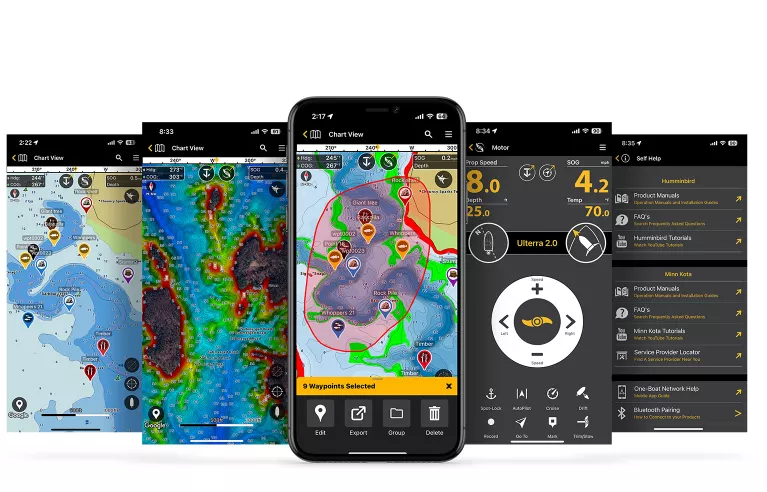
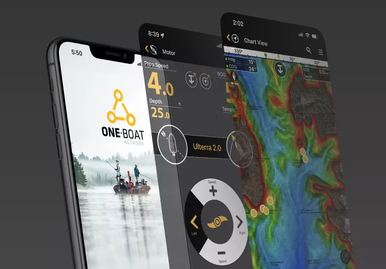
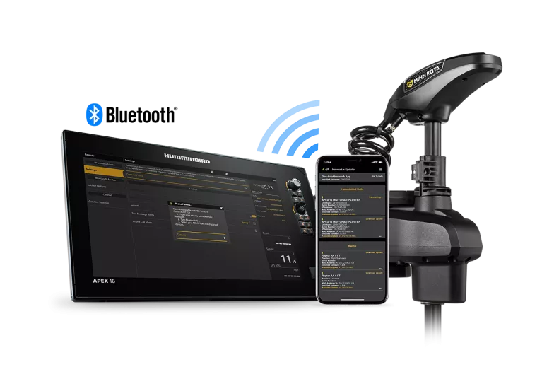
The One-Boat Network® App brings your Humminbird® and Minn Kota® devices together into one dashboard to give you unprecedented command of your fishing boat.
Navigate with Humminbird’s marine maps and then dial in with the app’s digital remotes for select Minn Kota trolling motors and shallow water anchors.
DOWNLOAD AND DIVE IN
A full range of features come standard, including VX Basemap, support, product updates and remotes for select One-Boat Network devices.
PUT YOUR BOAT IN THE PERFECT POSITION
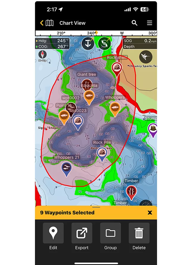
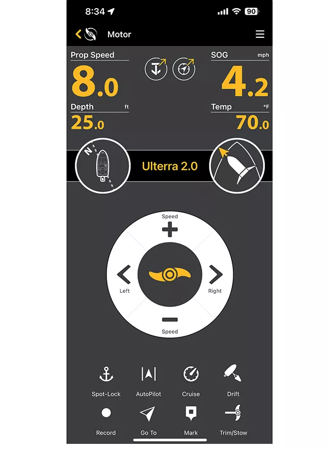
The One-Boat Network App’s digital remotes allow you to tap into your trolling motor’s navigation modes and control your shallow water anchor from anywhere on your boat. Get instant access to either while you’re navigating in the app’s map view.
MAKE YOUR MOTOR MOVE
Take your motor for a ride, right from the touchscreen. Control your speed, steering and enhanced GPS navigation modes like Spot-Lock®, Advanced AutoPilot® and the all-new Drift Mode.
DROP ANCHOR AT THE DROP OF A HAT
Stop, drop and reel. Deploy, retract and adjust your Raptor or Talon shallow water anchor in a heartbeat.
PEAK PERFORMANCE AT THE PUSH OF A BUTTON
Stay at the top of your game with seamless updates for all your One-Boat Network devices. Use the app to download the latest software for Humminbird fish finders, Minn Kota trolling motors and your Raptor or Talon shallow water anchors.
UNLOCK ADVANCED MAPS
For just over $2/month, access the full power of Humminbird's mighty map features.
UNLOCK PREMIUM MAPS (SUBSCRIPTION)
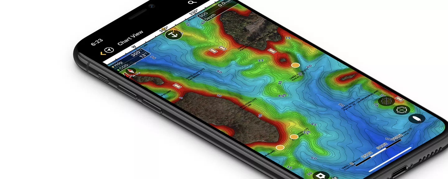
Enjoy 13,000+ premium LakeMaster VX maps for North American and CoastMaster VX maps for the U.S. coast, with maximum detail. Includes high-red shaded relief and aerial photography.

EVERYTHING FROM THE BOTTOM UP
Target hotspots and hazards with highlighting for depths and shallow-water areas synchronized with actual water levels.
SEE THE BIGGER PICTURE
Find new fishing spots and navigate confidently with aerial maps to help you see beyond the shoreline.
A NEW SHADE OF VIEW
See the water your way with color-shading options to make bottom details and depth changes easier to spot.
THOUSANDS OF TREASURED MAPS
Get the lay of virtually any lake or coastline: enjoy 13,000+ freshwater maps for North America and saltwater maps for the East, West and Gulf Coasts.
Still, want maps for your fish finder? Buy LakeMaster® and CoastMaster® cards for your head unit(s).
