How to Use Lake Maps for Ice Fishing
Breaking down a lake into smaller, fishable areas will save you time, effort and result in a more productive day on the ice.
Put Mapping to Work on Hard Water
Having a quality lake map when you hit the ice this winter is essential to having a productive day. With the rise in popularity of Sonar/GPS combo ice fish finders like the Humminbird ICE HELIX Series, mapping has become a staple on the ice.
Not long ago digital maps were rarely used on hard water. As mentioned in a previous article, the days of lining up with an old, leaning pine tree, the end of Steve's dock and the power lines in the distance is certainly a thing of the past.
With the popularity of these ice units with GPS and mapping functionality, we can now approach a lake with greater knowledge and increased efficiency.
Locating and Fishing the Spot

In this video, Brian "Bro" Brosdahl shows us how he uses his Humminbird ICE HELIX 7 CHIRP GPS G2 and LakeMaster® Mapping to be more efficient on the ice. He demonstrates how you're able to break down a lake into small fishable areas. By doing this, you can target particular contours, humps or drop offs with precision. Without quality mapping or knowledge of the lake, there would be no way to locate areas like this.
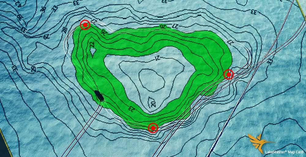
Brian shows us how he locates a "fishy" looking hump, uses the Depth Highlight feature and draws an outline on the desired contour with his vehicle. While he does this in his track truck, this can easily be duplicated by foot, snowmobile or any other machine.

By drawing an outline on the contour or area that he wants to target, he drills holes on key points or areas that he wants to try first. We've all been there, we get out on the ice, and we're so excited that we just start blindly drilling holes all over an area and then dropping a transducer or line in the water.
Brian emphasizes that starting with a few holes across an area and fine-tuning your location is a much more efficient approach, especially on a new lake or area of a familiar lake. This approach allows you to eliminate unproductive areas very fast. Once you find a consistent pattern that proves you're on a quality spot, drill a few more holes in that area.
Alternative Mapping Options
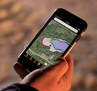
 If you don't have an ICE HELIX Series unit yet or want to access LakeMaster maps when planning for a trip, don't worry. You can access the same High-Definition LakeMaster lake maps on the Humminbird FishSmart App. This is a great tool to help you prepare for an ice expedition in the comfort of your nice, warm home. With the FishSmart app, you can also mark waypoints, routes, tracks and even use Depth Highlight and Shallow Water Highlight features on any of the individual maps purchased through the app.
So, whether you are headed to a new lake or you want to know your favorite lake even better, FishSmart brings LakeMaster mapping right to your fingertips.


