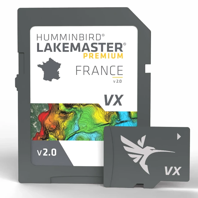
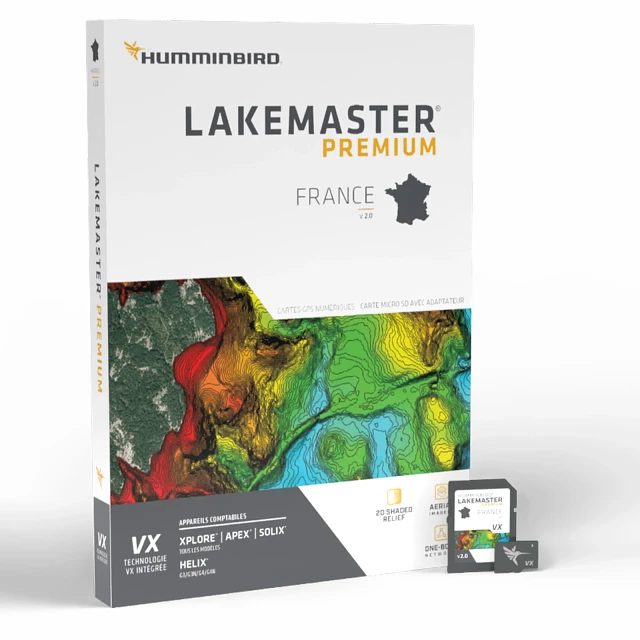
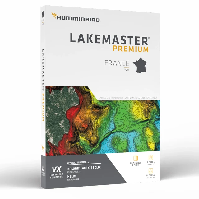
LakeMaster Premium France V2
Overview
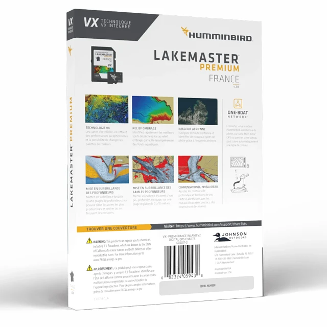
FEATURES
- Compatible With
- HELIX G3/G3N units, all SOLIX® units and all APEX™ units, all XPLORE™ units
- VX Technology
- Provides exceptional map performance and five customizable color palettes.
- 2D Shaded Relief
- Quickly find fish holding areas with 2D shaded relief, which make bottom detail and depth changes easy to spot.
- Aerial Imagery
- Navigate confidently and find new fishing spots with the help of enhanced aerial imagery (where available).
- Depth Highlight
- Create up to four user-defined depth highlight ranges and an easy-to-see red shallow water highlight. Also synchronize depth contours with changing water levels and identify drying areas during low tide.
- Shallow Water Highlight
- Quickly identify shallow water areas with easy-to-see red shading on an adjustable range from zero to 30 feet.
- Water Level Offset
- Synchronize the depth contours and shorelines of your LakeMaster Map with the actual water levels, so that your chart will reflect the current water level of your fishing spots.
- Advanced GPS Navigation
- Connect your Humminbird LakeMaster® map and Minn Kota® trolling motor, allowing your boat to automatically follow a depth contour line.
- Notice
- Opened packages are not eligible for return.
SPECS
| General | |
| Model | LakeMaster Premium France V2 |
| Product Code | 602017-2 |
| UPC | 0082324059438 |
| Region | International |
| Warranty | One-Year Warranty |
| Technical Details | |
| Delivery | SD Card |
| Product Type | LakeMaster |
WHY YOU'LL LOVE IT

SPOT ACTIVE FISH AREAS FAST
2D shaded relief reveals bottom detail and depth changes at a glance—so you can find productive zones quickly. (Premium only)

BROWSE FOR NEW SPOTS WITH CONFIDENCE
Aerial imagery layers help you navigate with precision and identify new fishing areas before you even hit the water. (Premium cards only)

SWITCH VIEWS IN SECONDS
Set up and toggle between three custom chart presets, keeping your most-used views just a tap away.

LOCK IN ON PRIME DEPTH ZONES
Highlight up to four custom depth ranges to zero in on the water where fish are most active.

STAY SAFE AND FIND HOTSPOTS
Red shading clearly marks shallow water—adjustable from 0 to 60 feet—so you can avoid hazards and target fish-holding shallows.

ADJUSTABLE WATER LEVEL OFFSET
Synchronize the depth contours and shorelines of your charts with the actual water levels, so that your chart will reflect the correct water level.

FIND FISH FASTER, SMARTER
Built-in SmartStrike shows you the most likely fish locations based on season, time, weather, and species—taking the guesswork out of your search.

FISH HANDS-FREE WITH PRECISION CONTROL
Link your LakeMaster chart to a Minn Kota trolling motor and let your boat automatically follow depth contours with One-Boat Network®.


