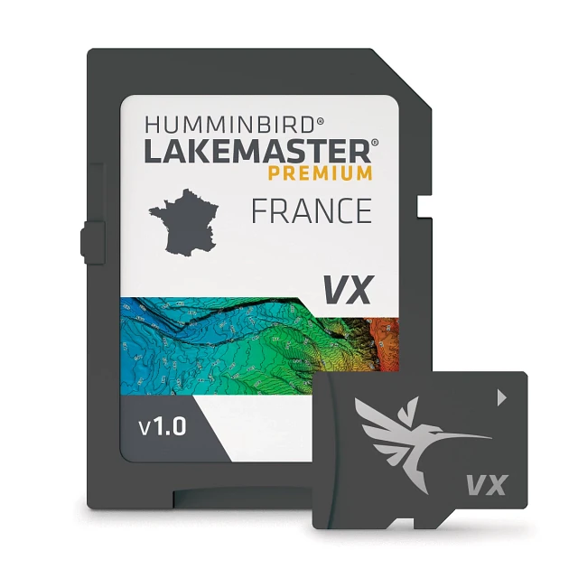


LakeMaster Premium, France
Item #
601017-1
$299.99
WARNING: Important information for California residents.
Overview
Humminbird® LakeMaster® Maps deliver unrivaled detail, accuracy and innovative, one-of-a-kind features you need to eliminate unproductive water and find the best fishing spots faster. For a complete listing of all bodies of water covered by this card, please use the Chart List located under the Resources tab of this page.
FEATURES
- Compatible With
- HELIX® G3/G3N and newer, all SOLIX® units, all APEX™ units and all XPLORE™ units
- VX Technology
- Provides exceptional map performance and five customizable color palettes.
- 2D Shaded Relief
- Quickly find fish holding areas with 2D shaded relief, which make bottom detail and depth changes easy to spot.
- Aerial Imagery
- Navigate confidently and find new fishing spots with the help of enhanced aerial imagery (where available).
- Water Level Offset
- Create up to four user-defined depth highlight ranges and an easy-to-see red shallow water highlight. Also synchronize depth contours with changing water levels and identify drying areas during low tide.
- Shallow Water Highlight
- Quickly identify shallow water areas with easy-to-see red shading on an adjustable range from zero to 30 feet.
- i-Pilot® Link™
- Synchronize the depth contours and shorelines of your LakeMaster Map with the actual water levels, so that your chart will reflect the current water level of your fishing spots.
- Notice
- Connect your Humminbird CoastMaster™ chart and Minn Kota® trolling motor, allowing your boat to automatically follow a depth contour line.
- Software Requirements
- Opened packages are not eligible for return.
- HELIX 9-15 (G3N and newer) & All SOLIX require v1.031 Basemap. HELIX 5/7/8 (G3/G3N and newer) require v2.010 Basemap.
SPECS
| General | |
| Model | LakeMaster Premium, France |
| Product Code | 601017-1 |
| UPC | 0082324055201 |
| Region | International |
| Warranty | One-Year Warranty |
| Technical Details | |
| Delivery | SD Card |
| Product Type | LakeMaster |
WHY YOU'LL LOVE IT

SWITCH VIEWS IN SECONDS
Set up and toggle between three custom chart presets, keeping your most-used views just a tap away.

LOCK IN ON PRIME DEPTH ZONES
Highlight up to four custom depth ranges to zero in on the water where fish are most active.

STAY SAFE AND FIND HOTSPOTS
Red shading clearly marks shallow water—adjustable from 0 to 60 feet— to help avoid hazards and target fish-holding shallows.

ADJUSTABLE WATER LEVEL OFFSET
Synchronize the depth contours and shorelines of your charts with the actual water levels, so that your chart will reflect the correct water level.


